Pilgrimage to the "Top of the World" - would you like to go??? ....make bookings with us !!!
.............updated 7th June 2003
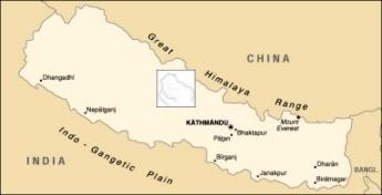
This shows the geographic location of the Annapurna
(Shaligram Tirtha) region.
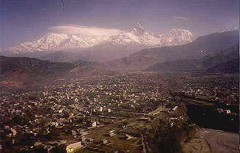
The View from Pokhara (3000 feet above sea level) looking toward Dhaulagiri
(left - 26,000 ft)
Annapurna (in clouds - 22,000 ft) and Machhapthhre "Fish-tail" (right
- 23,000 ft)
![]()
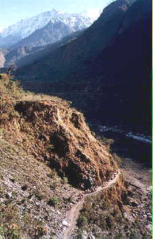
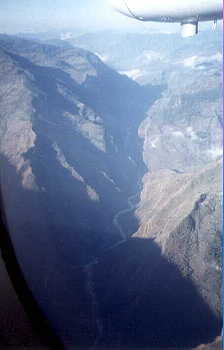
Spectacular views looking up the Kali Gandaki gorge (left) over Tatopani,
and on the ground
at Tatopani with Annapurna South in the background.
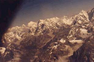
A shot from the plane
![]()
Looking up the Kali Gandaki valley, (right) Tapopani.
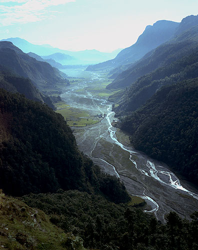
.....another of the same region
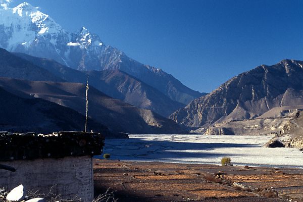
Looking North
![]()
Looking north to Jomsom from the Kali Gandaki river bed.
![]()
Jomsom area, and Jomsom STOL airport, with Nilgiri in the background.
The plane is affectionately known as the Vomit Express. Just 20 mins from
Pokhara flying up the highest-deepest valley in the world, sometimes battling
winds of 120 Mph (200 km+) as the clouds lift causing a kind of vacuum
effect propelling winds from the Tibetan plataux.
Jomsom's "Main Street" - obviously no cars etc., up here at 12,000
feet.
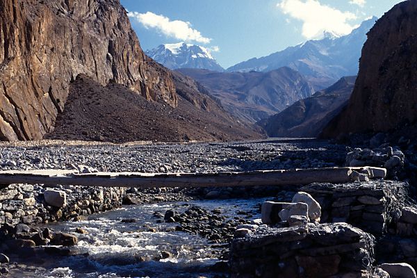
Bridge over the Kali Gandaki at Jomson
(....see any shilas from here.....? Come on tell me you didn't strain
your eyes to see)
![]()
(left) Near to Kag Beni, north of Jomsom, where the wind never stops
blowing, by day or night, and where the term "round the bend" originated.
Everyone here is affected by the wind and many of the residents are more
than a little crazy. (right) Nilgiri towering over the tiny township of
Jomsom.
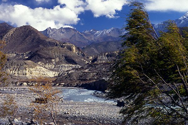
The wind that never stops....... look at the trees in the foreground
right.
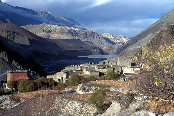
Kag Beni in the afternoon with the clouds coming down
The Kali Gandaki river bed north of Jomsom.


Fly by Helicopter
to Muktinath or Damodar Kund
or trek to Damodar
Kund
Visit Damodar Kund
with us...........
Damodar Kunda pictures ![]() (Damodar Kund info')
(Damodar Kund info')
(Damodar Kund has only this year 2003 become accessible to foreign nationals)
Take another tour with Vipramukhya Swami - March 2001
Go to Bhaktisiddhanta Swami's pilgrimage of 2002 (incredibly pictures)


